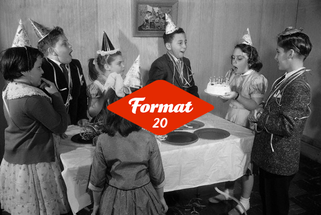

FORMAT24 Presents
Saturday 16 March – Sunday 30 July 2024
Launch – Friday 15 March, 6:30pm, QUAD
FORMAT’s 20th Birthday Celebration – Saturday 16 March, from 11am, QUAD
Marking FORMAT’s 20th Anniversary, we are delighted to announce our FORMAT24 Presents Programme featuring six exhibitions across Derby and the East Midlands.
In Derby’s Cultural Hub QUAD, we welcome curator Peggy Sue Amison’s exciting exhibition Future Tense – Living the Future Now. Awarded the FORMAT23 FORMAT OPEN Call award, this exhibition draws on the varied experiences of ten international artists to engage audiences in a space of frequencies that collectively communicate different channels of contemplation, considering new understandings of time, but also how image surface can be interpreted as communal space to be questioned and dissected. Future Tense has been generously supported by Culture Ireland and East Wing.
Alongside this exhibition, in QUAD’s Gallery Two we will see Jubilee City: Derby Punk in the 1970s. Drawing on the archive of local artist Aaron Williamson, whilst also incorporating ephemera and documents arising from a call-out to individuals who were active on Derby’s punk scene between 1976 – 1979.
In QUAD’s Extra Gallery Spaces, the work of four UK based artists Deacon Lui, Kota Ishida, Melanie King and Sergey Novikov will be presented, selected from the FUTURE NOW open call-in partnership with LCB Depot, Leicester.
Over at The Orangery in Derby’s Arboretum Park, see Supnaa: Dreams of Our Fathers, an exhibition by Photographer Anand Chhabra which attempts to tell the story of his parent’s and their migration from India to the UK c1960s–to present day, and their hopes of a ‘new life’ together with early Punjabi migrants who arrived ‘en masse’ to the UK. This is a subject that remains largely untold photographically.
Carrying on the programme throughout the East Midlands – over in our neighboring city Leicester, we will see two further exhibitions. At LCB Depot and other venues across the city centre in Leicester, local and international artists selected from the FUTURE NOW open call will be showcasing their works and on Leicester’s famous Granby Street we will be showing the portraits of local city residents created by artist Khatun in the exhibition Picturing Leicester as a culmination of the Picturing High Streets Leicester’s Residency.
Find out more about each exhibition below.
FORMAT is organised by and is a partnership between QUAD and the University of Derby with generous funding from Arts Council England.